

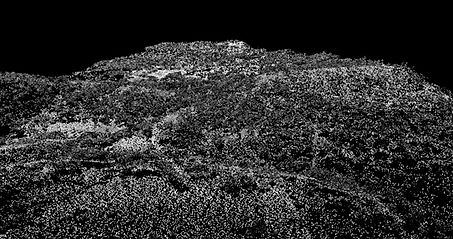
Point Cloud
Classified Point Cloud
Point clouds are a collection of points that represent a 3D shape or feature. Each point has its own set of X, Y, and Z coordinates.
The LiDAR system requires many components to record all data, such as a GPS, so that each point has accurate position data attached.
The lidar point cloud is so precise that we can discriminate the different elements to classify terrain, vegetation, buildings, and power lines:


Color by Elevation - Applies a color spread to the range of elevations found in the Lidar data and filter them to create a color profile.
Color by Intensity - Color lidar points from black to white by the intensity of the return pulse, measuring the strength of it, the number of returns will be determined by the composition of the surface object reflecting the return.

Color by Flight Line and Intensity - View projected data by flight line + overlapping intensity.
Color by Classification - Colors Lidar points by the ASPRS defined classification values, the coloring shows the data with their different classifications (Ground, Vegetation, Buildings, and so on). We can classify your LAS files as required


Color by RGB - LIDAR points can be colored by Red, Green, Blue (RGB) values extracted from an orthophoto for a more realistic representation of the terrain